1164 - A closer look at the odd 'White Rock' (lemmy.world)
L-MastCam-Z - NASA/JPL-Caltech/ASU/MSSS
This magazine is from a federated server and may be incomplete. Browse more on the original instance.
L-MastCam-Z - NASA/JPL-Caltech/ASU/MSSS
end of drive NavCam shows the tracks in the ancient river valley - credits : NASA/JPL-Caltech
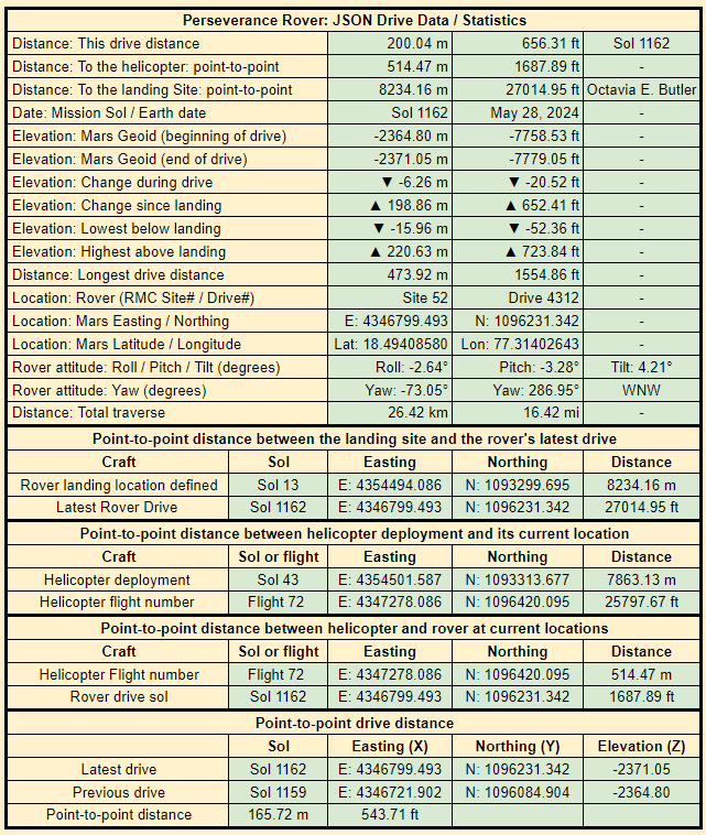
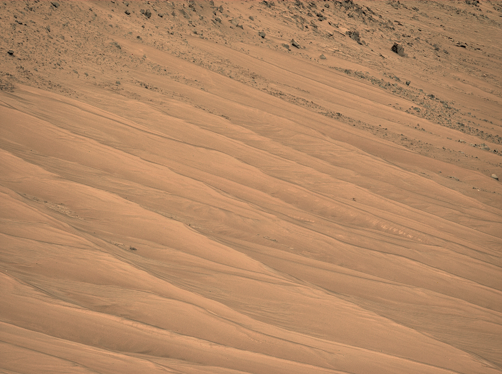
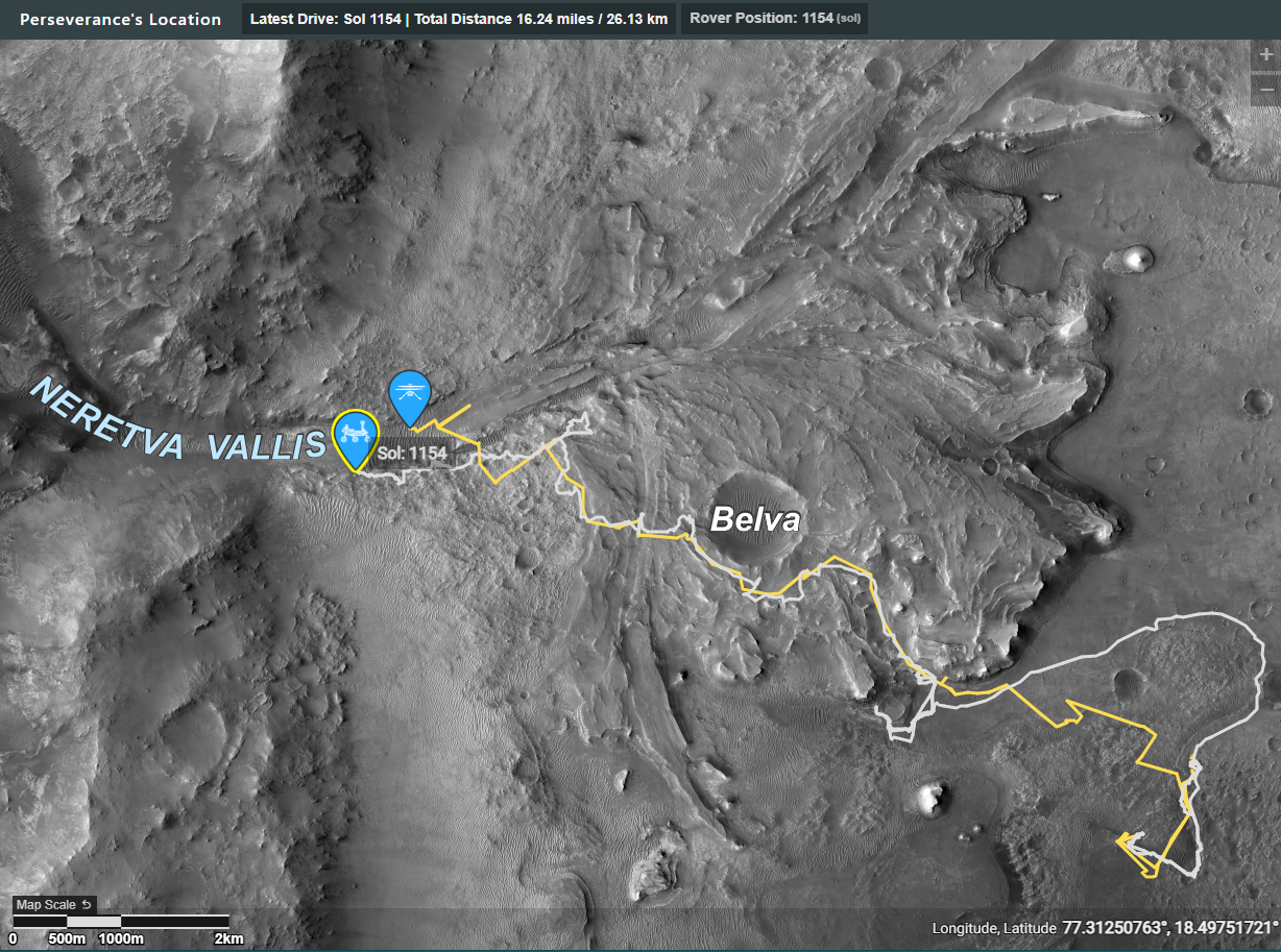
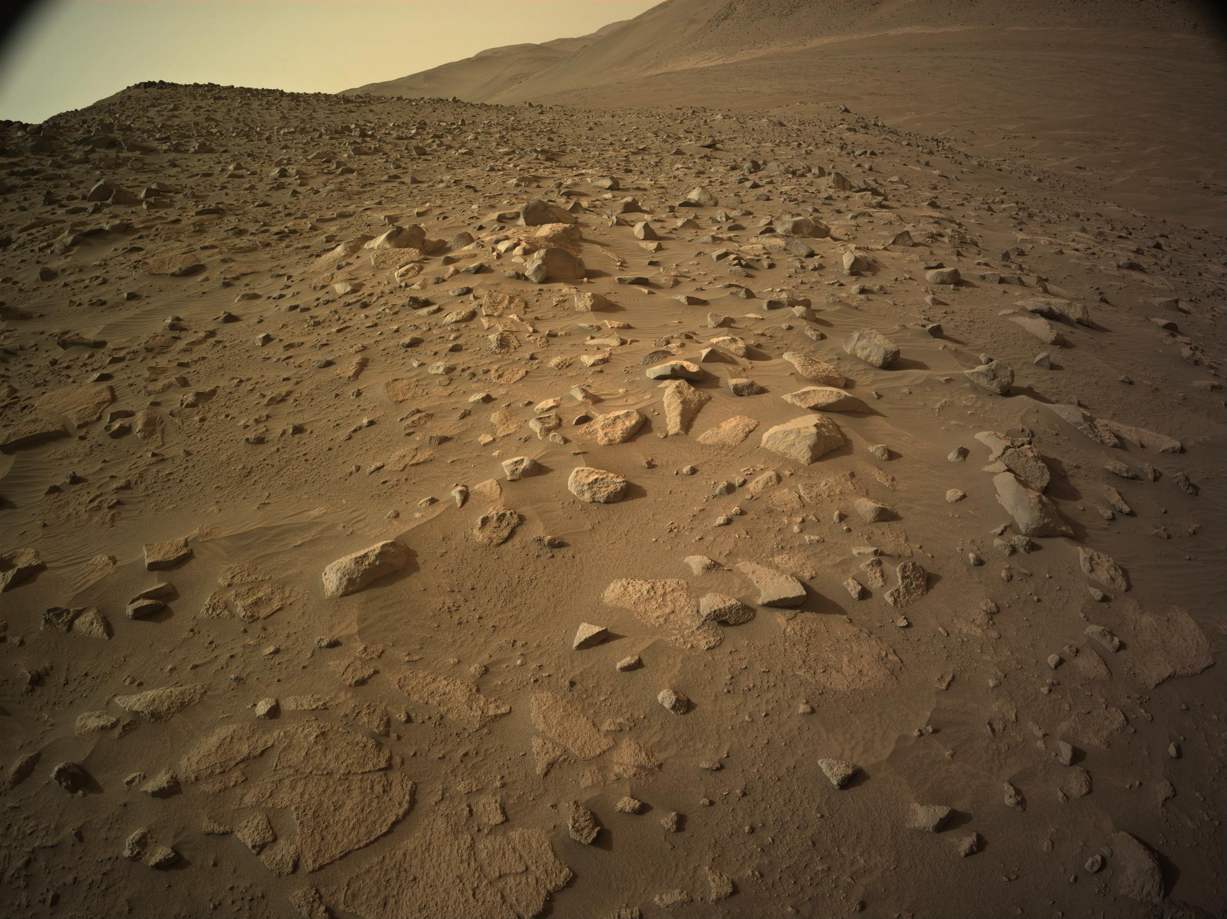
R-MastCam-Z, zoomed at 63mm, acquired on sol 1152 after a drive to site 52.4312. The map has not been updated yet, nor has the JSON drive data been released (probably because of the holiday in the US), but it looks like a long drive.
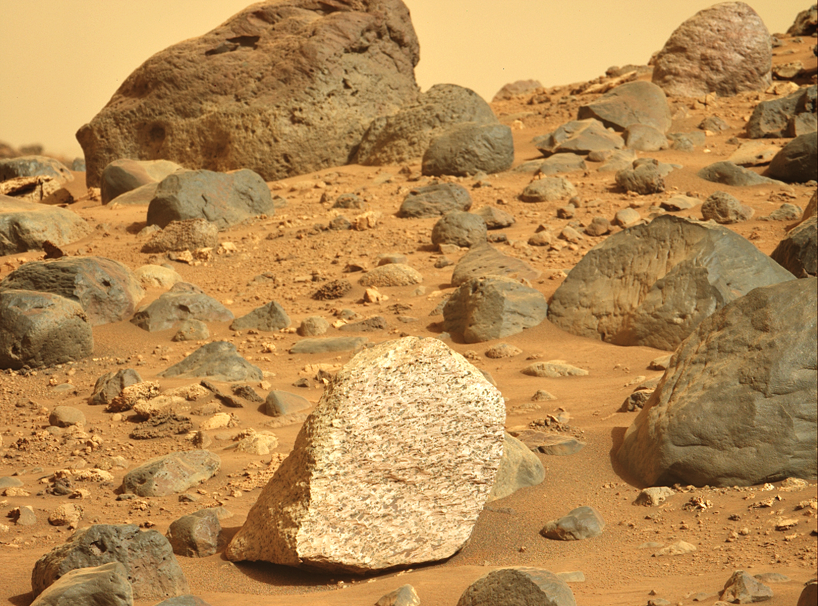
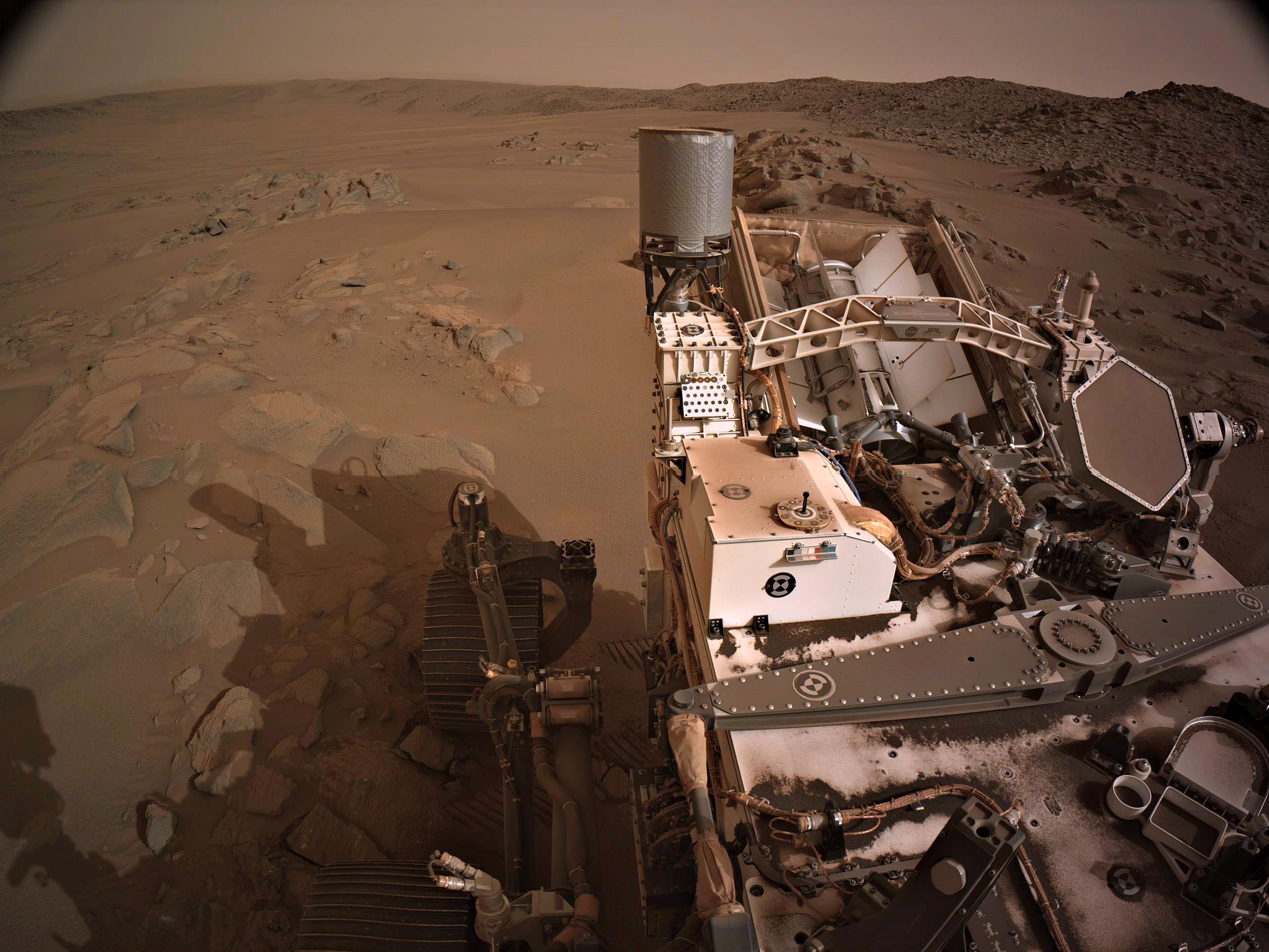
This photo was selected by public vote and featured as “Image of the Week” for Week 171 (May 19 - 25, 2024) of the Perseverance rover mission on Mars. NASA’s Mars Perseverance rover acquired this image using its Right Mastcam-Z camera. Mastcam-Z is a pair of cameras located high on the rover’s mast. This image was...
Episode 164 - Soft Martian sand has turned back one rover, trapped another, and killed a third. Now Perseverance has the option to drive through large sand ripples or across treacherous rocks to reach its next science target. So which is the better choice?

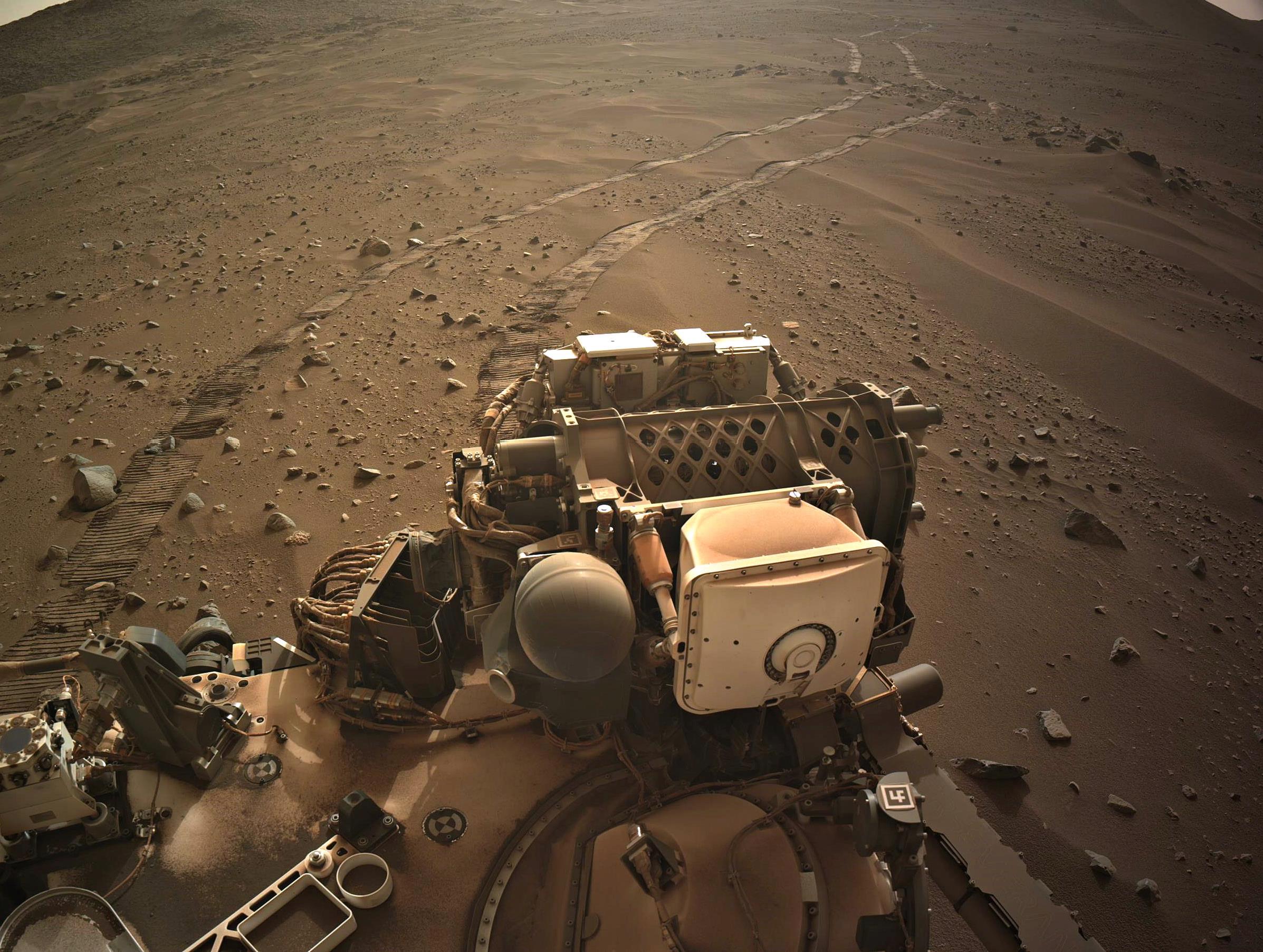
end-of-drive NavCam looking East - NASA/JPL-Caltech
Middle of the frame, about one third of the way from the right side. Distance from the rover on sol 1152 was 636 meters (2068 ft)
End-of-drive tiled NavCam. Elevation change -6.8 meters
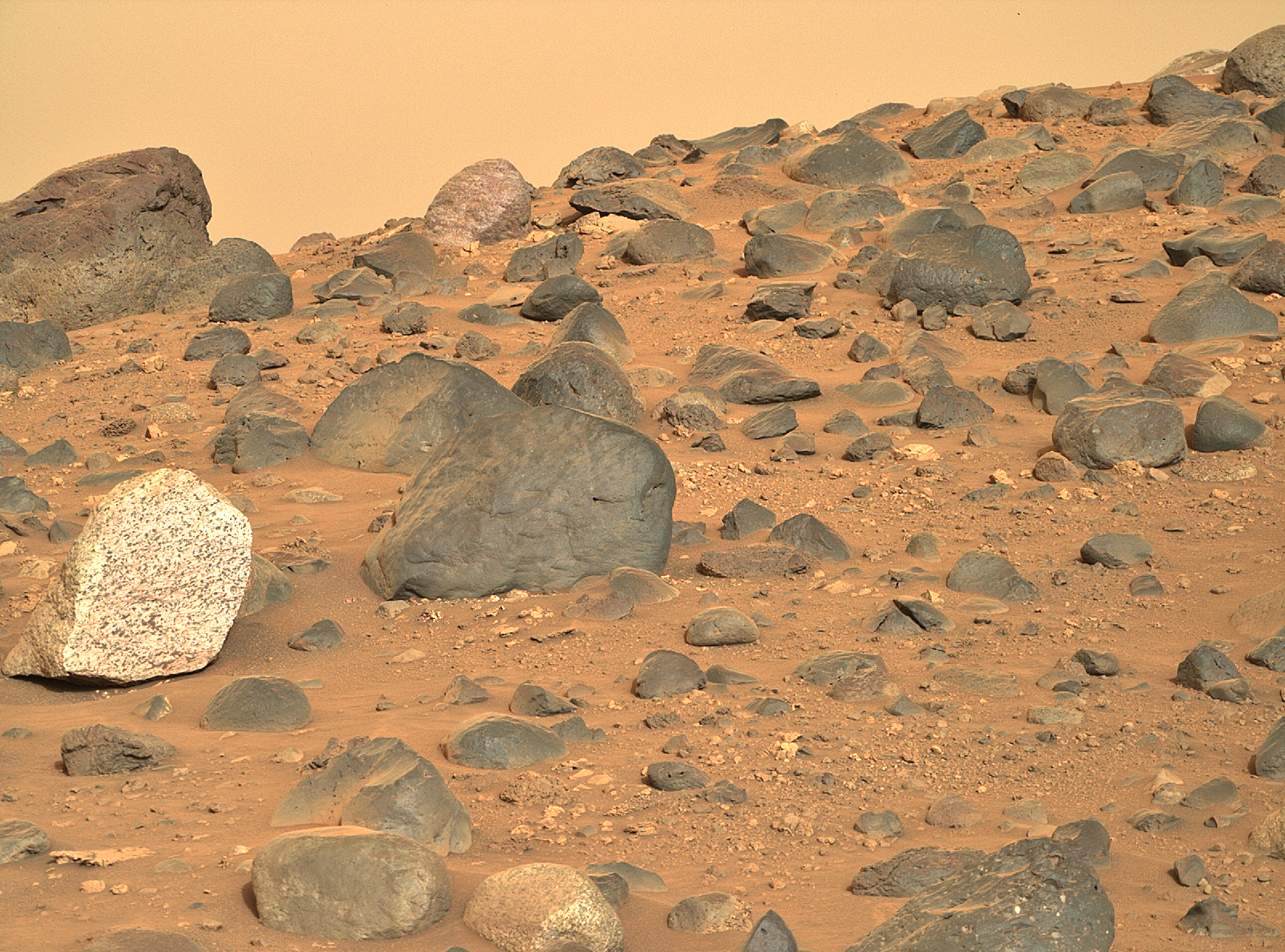
End-of-drive tiled NavCam
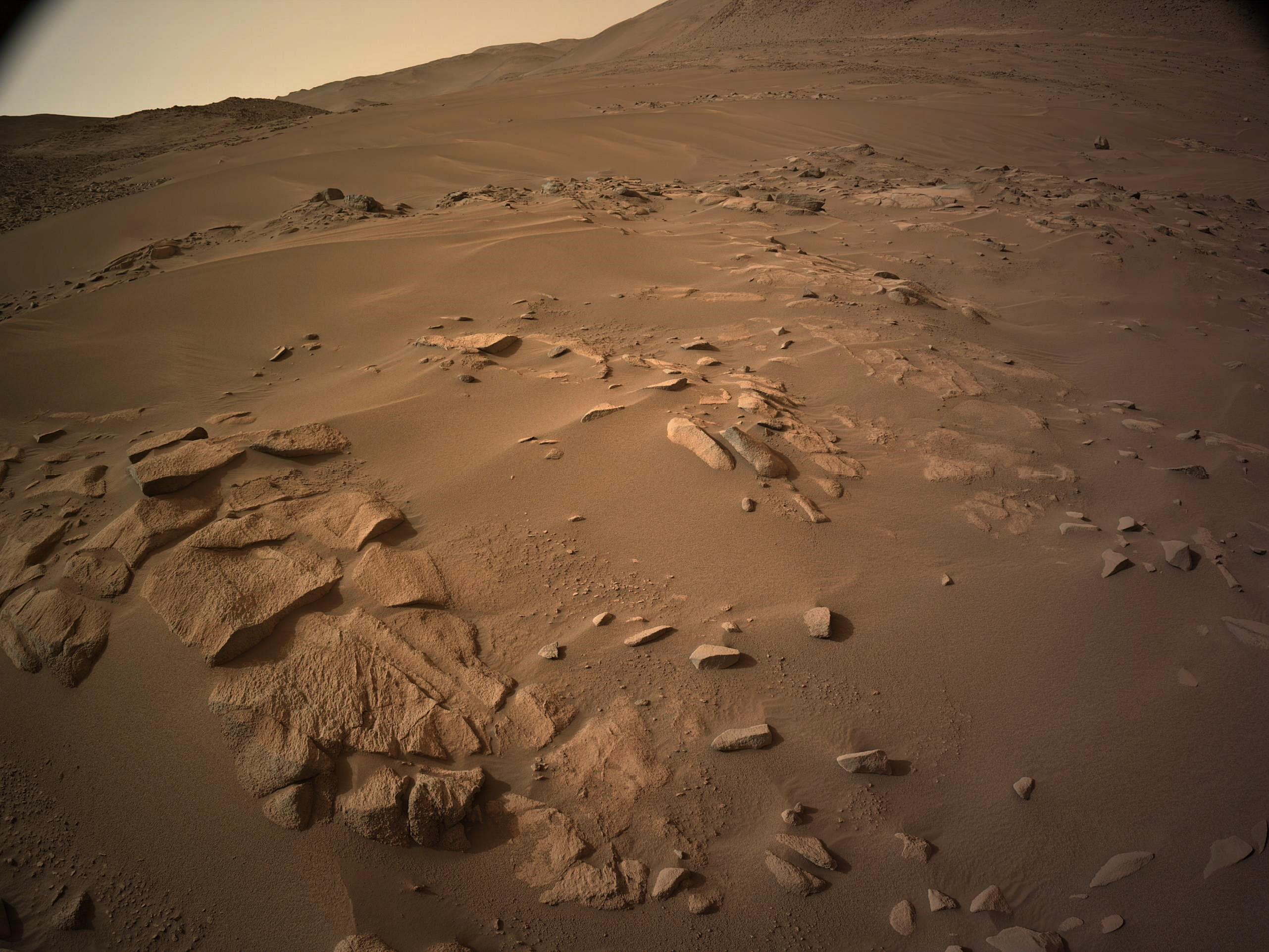
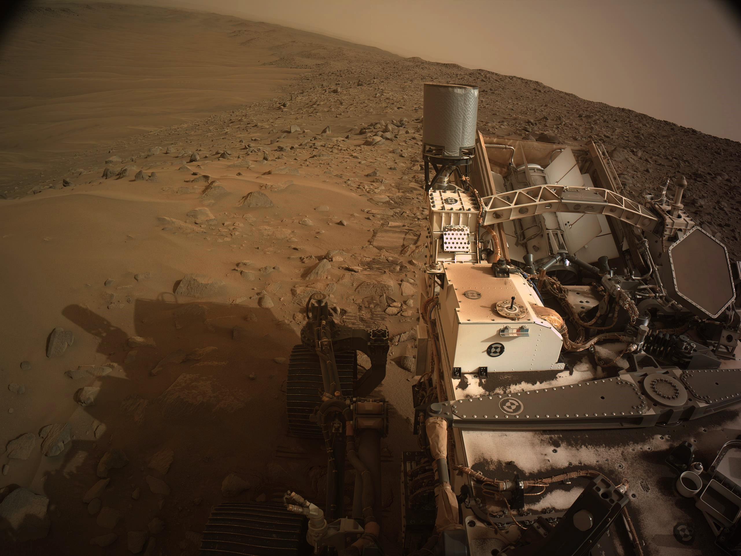
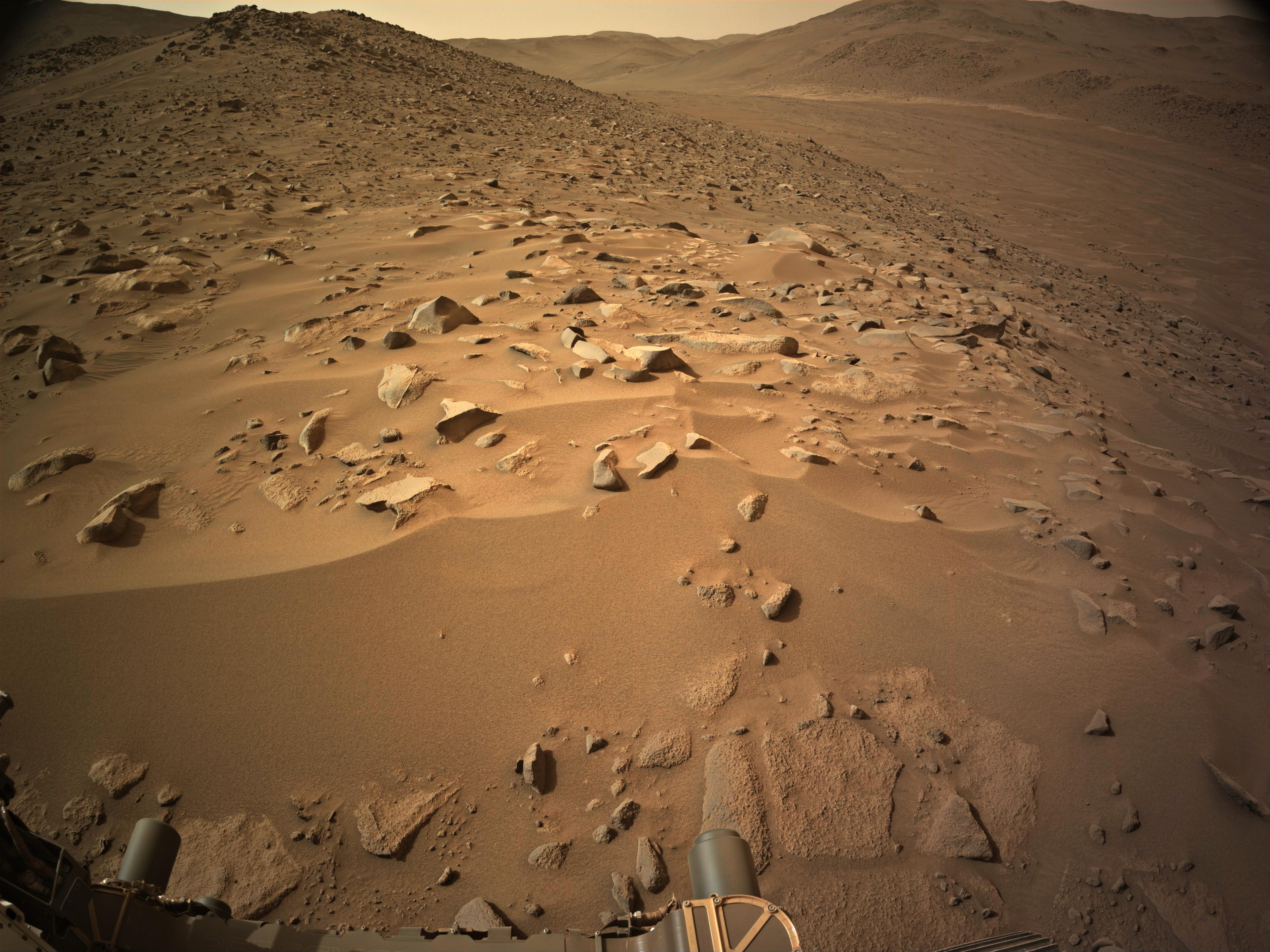
post drive tiled NavCam. Located on the south bank of Neretva Vallis. NASA/JPL-Caltech
screen grab from mars.nasa.gov/maps/location/?mission=M20
L-NavCam view (cropped) after the 40cm drive NASA/JPL-Caltech
NASA/JPL-Caltech
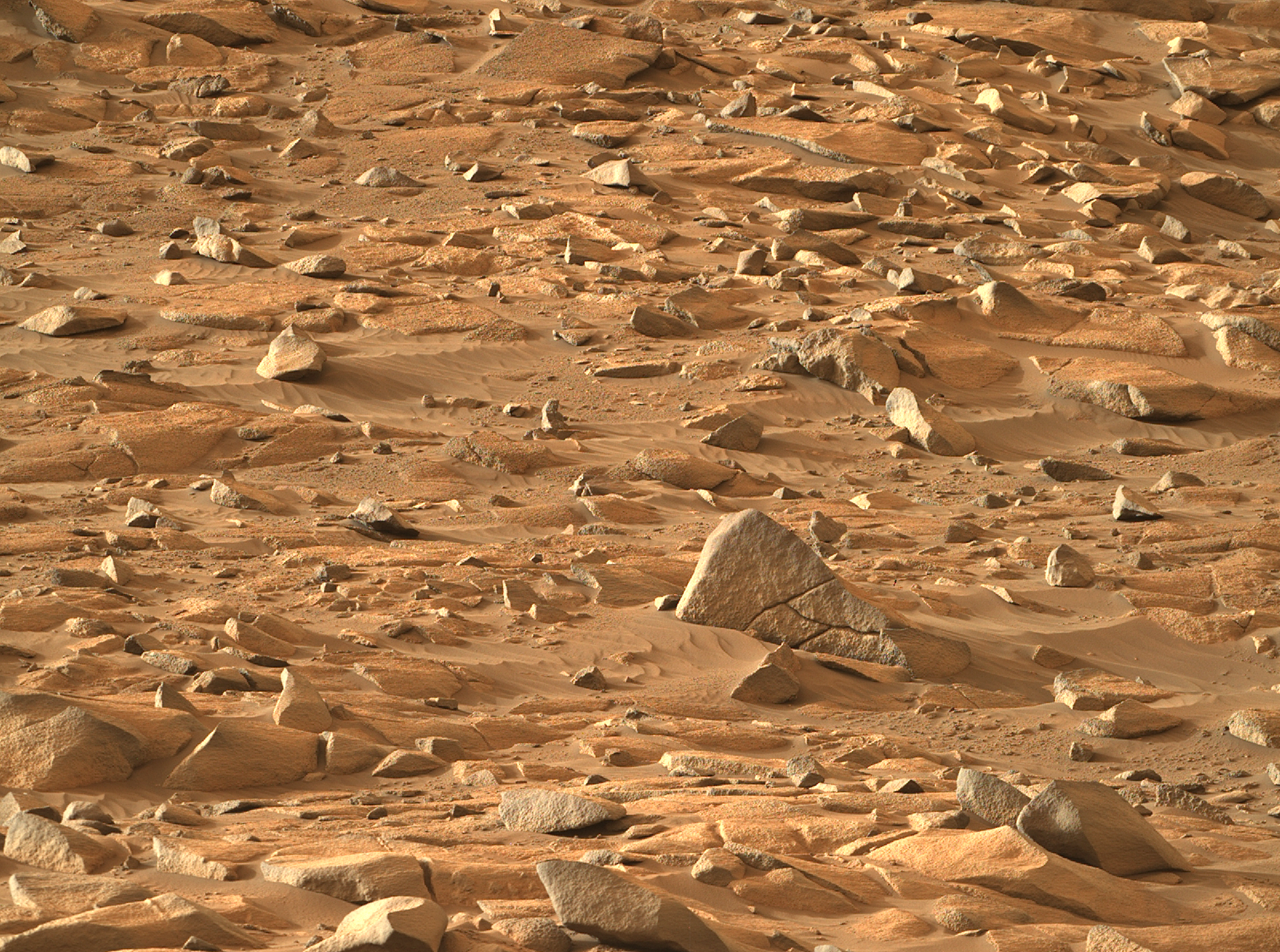
MastCam-Z full zoom sol 1152 - Looking down Neretva Vallis along the shore of the now sand filled ancient river channel. (heavily processed as the raw was overexposed) Credit: NASA/JPL-Caltech/ASU/MSSS
MastCam-Z full zoom (110mm) credit: NASA/JPL-Caltech/ASU/MSSS
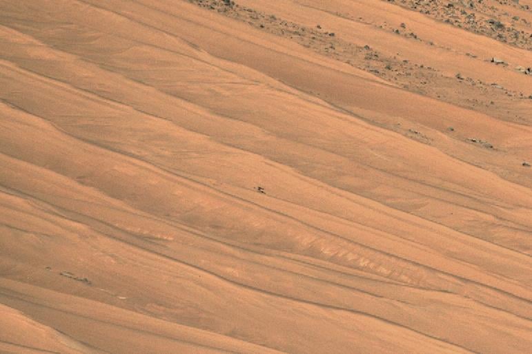
Mars Guy - Episode 163 Mars has some of the biggest landslides in the Solar System, like the ones inside Valles Marineris. But not all mass movements are so massive. This week, Perseverance unintentionally generated what may be one of the smallest ones.

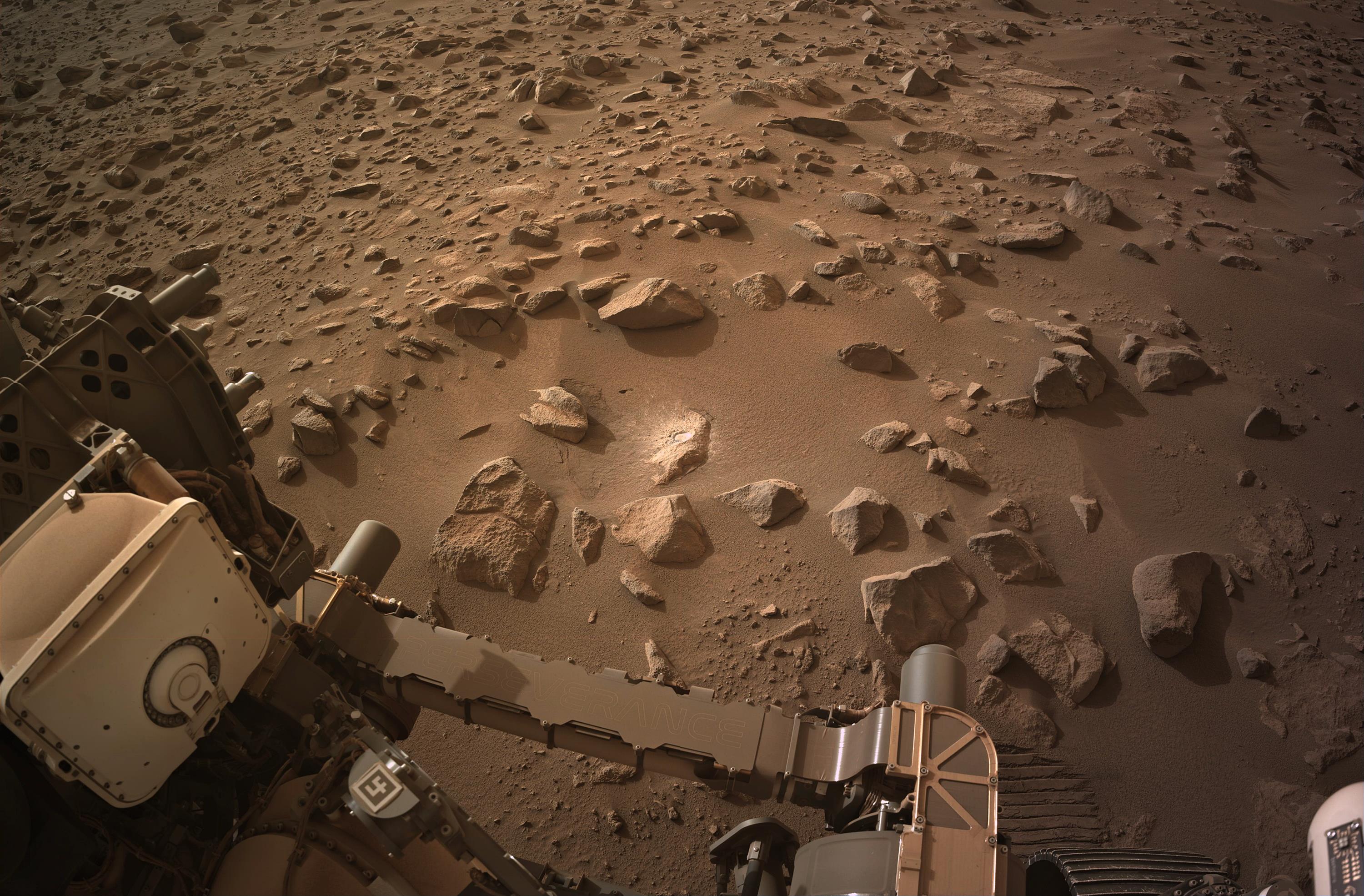
Perseverance Mars rover used its abrasion tool to grind down the rock surface at this target on May 16, 2024, the 1151st Martian day, or sol, of the mission. The abraded patch is 2 inches (5 centimeters) in diameter. The rover abrades rocks using a tool on its robotic arm to clear away dust and weathering rinds, allowing other...
Edging closer to Neretva Vallis - post drive tiled NavCam NASA/JPL-Caltech

Another 42 meters (138 feet)
~40 meters west, still waiting for the official data. The distant light toned patch at the bottom of the valley on the opposite bank of Neretva Vallis is “Bright Angel”. It’s a pre-defined “Science Waypoint” for the rover, but the rover will have to cross the valley to reach it.